MapsFree
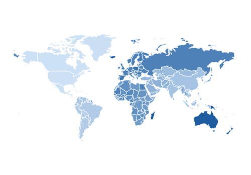
World (countries) Choropleth
Make a World (countries) Choropleth chart in PlotSet: start from this template, swap in your own data, then embed it or export it as PNG, SVG or PDF.
(No Credit-Card Required)
Use cases
Where a chart like this does its best work.
Regional statistics by country, state or district
Store, office and event locations
Trade routes, flights and migration
Global stories told on a rotating globe
Start from an example
Pick one to open your own editable copy.
 Living Languages
 Global Official Reserve Assets by Country/Region
 Mean Age at First Sexual Experience
 Cancer Rates per Capita
 Annual CO₂ Emissions from Oil by Country in 2023
 Landlocked Countries and Their Surrounding Neighbors
 Global Food Insecurity Levels (2021-2023)
 Global Economic Recovery Projections for 2021
 Global Economic Forecasts for 2020
 World Press Freedom Index Analysis
 Global Press Freedom Index 2020
 U.S. Import Reliance on Nonfuel Mineral Commodities in 2018
More Maps templates
New York (boroughs) Choropleth
Andalusia (provinces) Choropleth
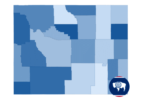
Wyoming (counties) Choropleth
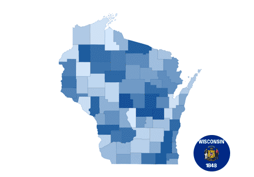
Wisconsin (counties) Choropleth
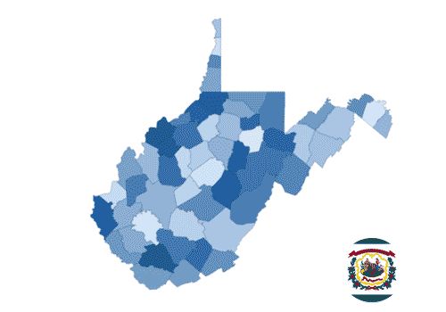
West Virginia (counties) Choropleth
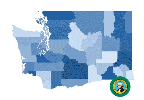
Washington (counties) Choropleth
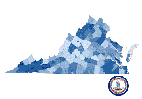
Virginia (counties) Choropleth
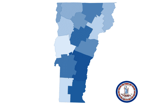
Vermont (counties) Choropleth
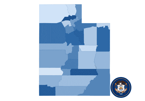
Utah (counties) Choropleth