MapsFree
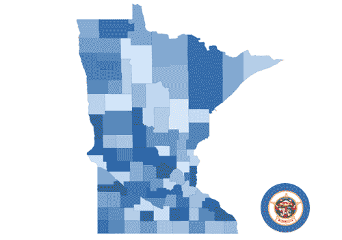
Minnesota (counties) Choropleth
Make a Minnesota (counties) Choropleth chart in PlotSet: start from this template, swap in your own data, then embed it or export it as PNG, SVG or PDF.
(No Credit-Card Required)
Use cases
Where a chart like this does its best work.
Regional statistics by country, state or district
Store, office and event locations
Trade routes, flights and migration
Global stories told on a rotating globe
More Maps templates
New York (boroughs) Choropleth
Andalusia (provinces) Choropleth
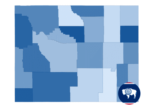
Wyoming (counties) Choropleth
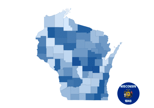
Wisconsin (counties) Choropleth
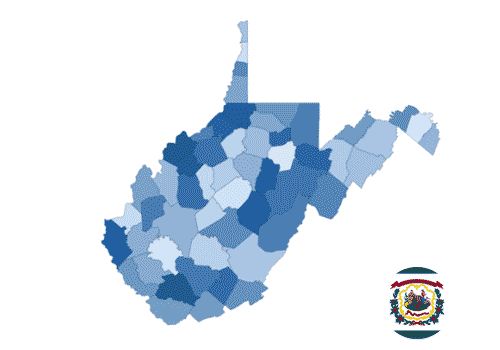
West Virginia (counties) Choropleth
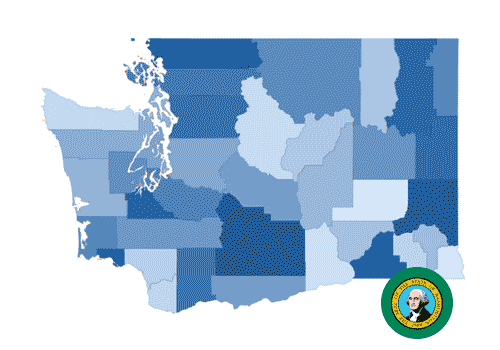
Washington (counties) Choropleth
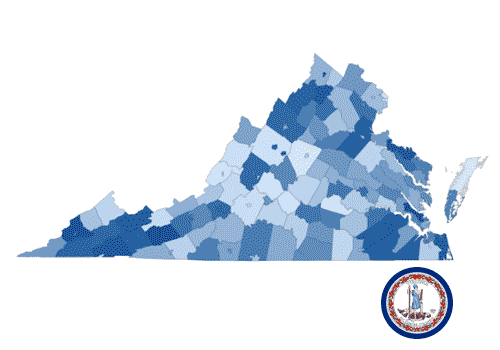
Virginia (counties) Choropleth
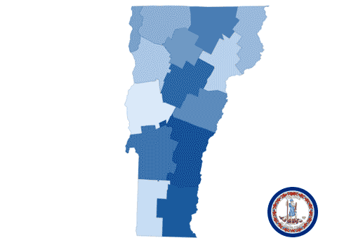
Vermont (counties) Choropleth
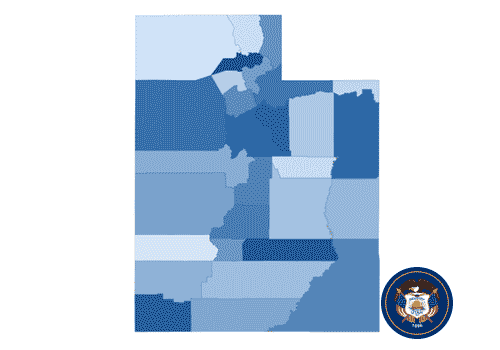
Utah (counties) Choropleth