
3D Map
Maps with height, tilt and satellite imagery behind the data.
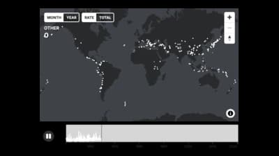
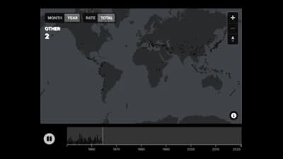
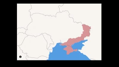
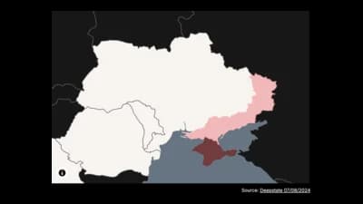
The idea
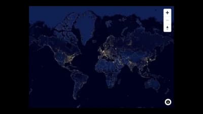
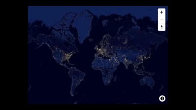
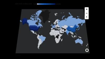
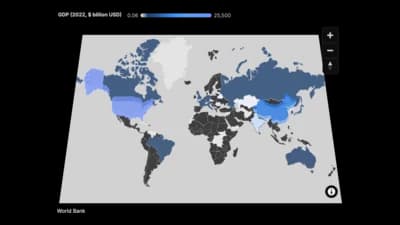
A 3D map tilts the map and lifts regions or points into the air, so height can carry a value. Satellite or night-time backgrounds add context. Use it when the third dimension adds meaning, and a flat choropleth when it would only decorate.
Where to use it
- Population or cost extruded over a country
- Regions with variable opacity on satellite imagery
- Night-light and urban density stories
- Fly-through style map presentations
Templates
Start from any of these templates and swap in your own data.
Ready to Transform Your Data Storytelling?
Join +6,000 creating stunning charts and video visuals with the all-in-one AI data visualization platform.
PlotSet helps data analysts, marketers, and designers transform complex data into clear, compelling stories. start creating today.