

PlotSet LogoPlotSet
Modelos

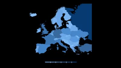
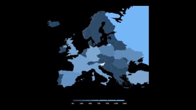
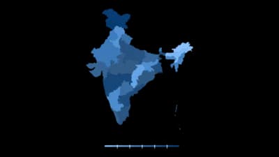
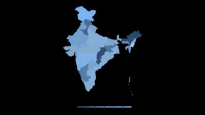
Mapa coroplético

Regiões sombreadas pelo valor, para países, estados, municípios e mais.

Modelos

Comece com qualquer um destes modelos e troque pelos seus próprios dados.

Mostrar os 120 modelos
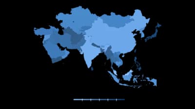
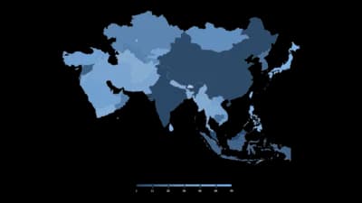
Middle East (countries) Choropleth

Middle East (countries) Choropleth

Argentina (provinces) Choropleth

Argentina (provinces) Choropleth

Spain (provinces) Choropleth

Spain (provinces) Choropleth

Pakistan (provinces) Choropleth

Pakistan (provinces) Choropleth

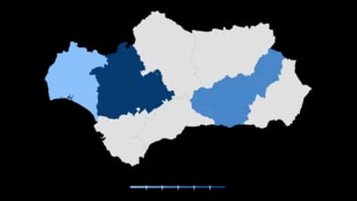
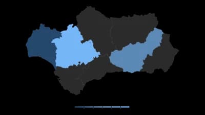
Andalusia (provinces) Choropleth

Andalusia (provinces) Choropleth

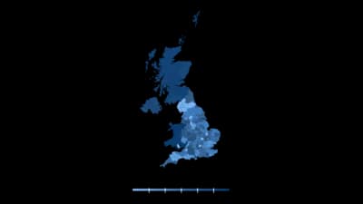
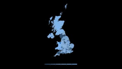
UK (districts) Choropleth

UK (districts) Choropleth

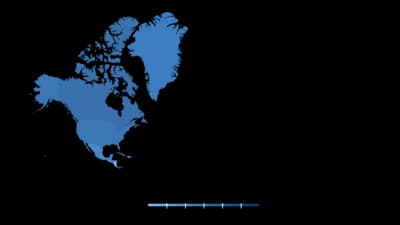
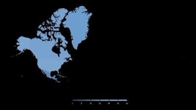
North America (countries) Choropleth

North America (countries) Choropleth

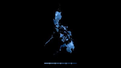
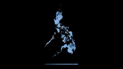
Philippines (provinces) Choropleth

Philippines (provinces) Choropleth

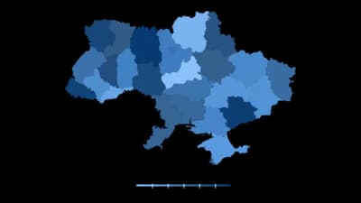
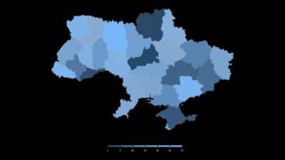
Ukraine (regions) Choropleth

Ukraine (regions) Choropleth

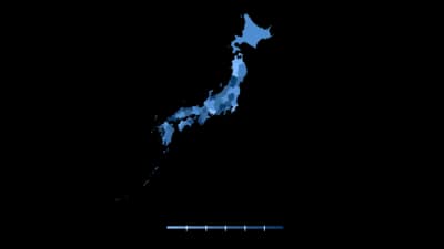
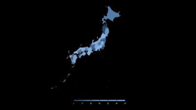
Japan (prefectures) Choropleth

Japan (prefectures) Choropleth

Poland (provinces) Choropleth

Poland (provinces) Choropleth

Nigeria (states) Choropleth

Nigeria (states) Choropleth

Mexico (states) Choropleth

Mexico (states) Choropleth

Alabama (counties) Choropleth

Alabama (counties) Choropleth

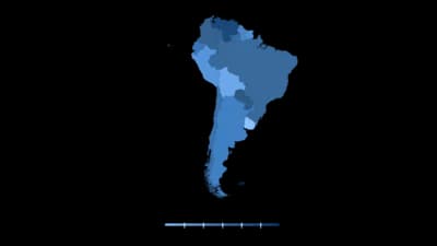
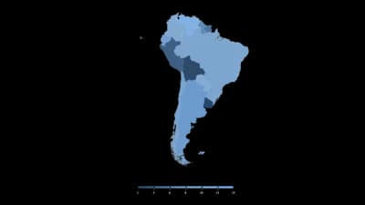
South America (countries) Choropleth

South America (countries) Choropleth

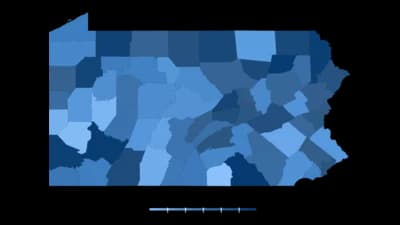
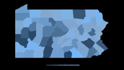
Pennsylvania (counties) Choropleth

Pennsylvania (counties) Choropleth

Saudi Arabia (provinces) Choropleth

Saudi Arabia (provinces) Choropleth

Austria (states) Choropleth

Austria (states) Choropleth

Latin America (countries) Choropleth

Latin America (countries) Choropleth

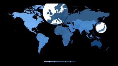
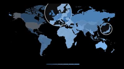
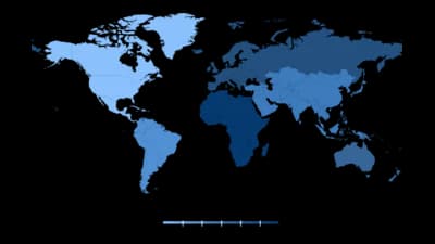
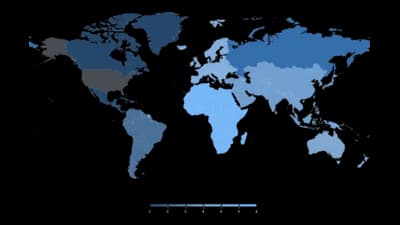
Choropleth Map

Choropleth Map

California (counties) Choropleth

California (counties) Choropleth

New York (boroughs) Choropleth

New York (boroughs) Choropleth

North Carolina (counties) Choropleth

North Carolina (counties) Choropleth

South East Asia (countries) Choropleth

South East Asia (countries) Choropleth

Singapore (regions) Choropleth

Singapore (regions) Choropleth

South Africa (provinces) Choropleth

South Africa (provinces) Choropleth

Qatar (municipalities) Choropleth

Qatar (municipalities) Choropleth

Netherlands (provinces) Choropleth

Netherlands (provinces) Choropleth

New Jersey (counties) Choropleth

New Jersey (counties) Choropleth

Central America (countries) Choropleth

Central America (countries) Choropleth

Colombia (departments) Choropleth

Colombia (departments) Choropleth

Kansas (counties) Choropleth

Kansas (counties) Choropleth

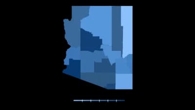
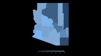
Arizona (counties) Choropleth

Arizona (counties) Choropleth

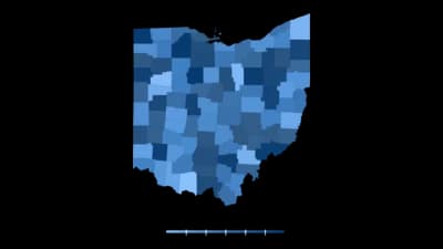
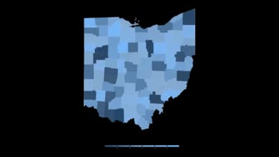
Ohio (counties) Choropleth

Ohio (counties) Choropleth

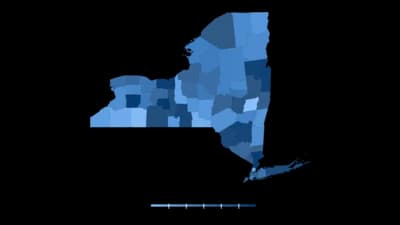
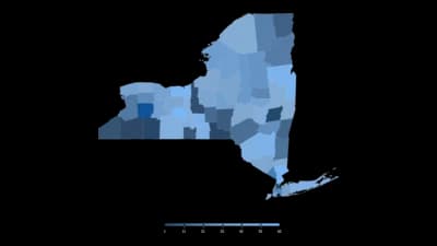
New York (counties) Choropleth

New York (counties) Choropleth

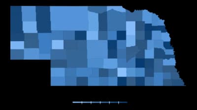
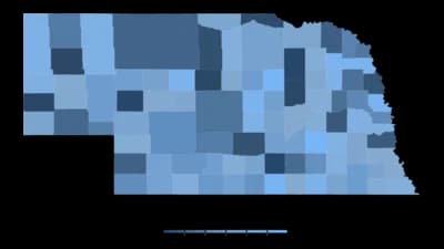
Nebraska (counties) Choropleth

Nebraska (counties) Choropleth

Thailand (provinces) Choropleth

Thailand (provinces) Choropleth

Sweden (counties) Choropleth

Sweden (counties) Choropleth

South Korea (provinces) Choropleth

South Korea (provinces) Choropleth

Chile (regions) Choropleth

Chile (regions) Choropleth

Hungary (regions) Choropleth

Hungary (regions) Choropleth

Egypt (governorates) Choropleth

Egypt (governorates) Choropleth

Belgium (provinces) Choropleth

Belgium (provinces) Choropleth

Bangladesh (districts) Choropleth

Bangladesh (districts) Choropleth

Texas (counties) Choropleth

Texas (counties) Choropleth

Switzerland (cantons) Choropleth

Switzerland (cantons) Choropleth

Alaska (boroughs) Choropleth

Alaska (boroughs) Choropleth

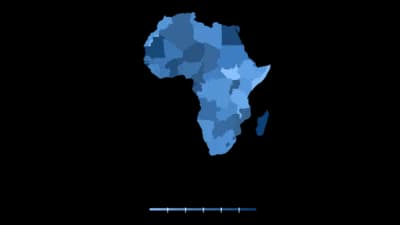
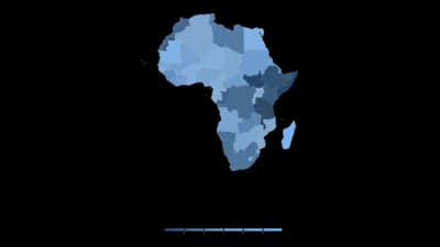
West Africa (countries) Choropleth

West Africa (countries) Choropleth

UAE (emirates) Choropleth

UAE (emirates) Choropleth

Norway (counties) Choropleth

Norway (counties) Choropleth

Israel (districts) Choropleth

Israel (districts) Choropleth

Oklahoma (counties) Choropleth

Oklahoma (counties) Choropleth

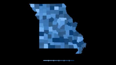
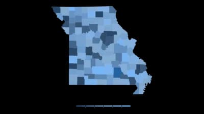
Missouri (counties) Choropleth

Missouri (counties) Choropleth

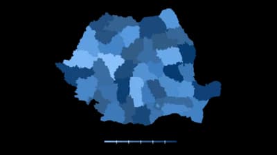
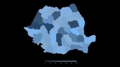
Romania (regions) Choropleth

Romania (regions) Choropleth

Ireland (counties) Choropleth

Ireland (counties) Choropleth

Denmark (provinces) Choropleth

Denmark (provinces) Choropleth

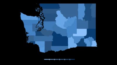
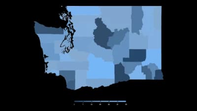
Washington (counties) Choropleth

Washington (counties) Choropleth

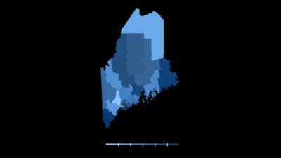
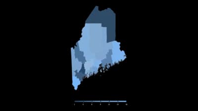
Maine (counties) Choropleth

Maine (counties) Choropleth

Louisiana (counties) Choropleth

Louisiana (counties) Choropleth

Wyoming (counties) Choropleth

Wyoming (counties) Choropleth

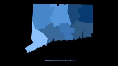
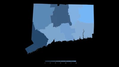
Connecticut (counties) Choropleth

Connecticut (counties) Choropleth

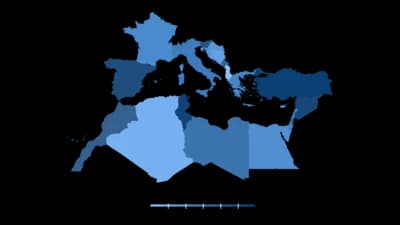
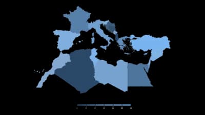
Mediterranean Sea (countries) Choropleth

Mediterranean Sea (countries) Choropleth

Malaysia (states) Choropleth

Malaysia (states) Choropleth

Wisconsin (counties) Choropleth

Wisconsin (counties) Choropleth

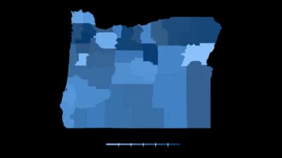
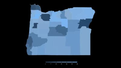
Oregon (counties) Choropleth

Oregon (counties) Choropleth

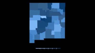
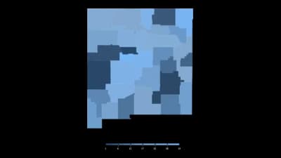
New Mexico (counties) Choropleth

New Mexico (counties) Choropleth

Maryland (counties) Choropleth

Maryland (counties) Choropleth

Georgia (counties) Choropleth

Georgia (counties) Choropleth

Rhode Island (counties) Choropleth

Rhode Island (counties) Choropleth

Massachusetts (counties) Choropleth

Massachusetts (counties) Choropleth

Indiana (counties) Choropleth

Indiana (counties) Choropleth

Illinois (counties) Choropleth

Illinois (counties) Choropleth

Florida (counties) Choropleth

Florida (counties) Choropleth

Arkansas (counties) Choropleth

Arkansas (counties) Choropleth

Minnesota (counties) Choropleth

Minnesota (counties) Choropleth

Kentucky (counties) Choropleth

Kentucky (counties) Choropleth

Colorado (counties) Choropleth

Colorado (counties) Choropleth

Virginia (counties) Choropleth

Virginia (counties) Choropleth

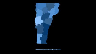
Vermont (counties) Choropleth

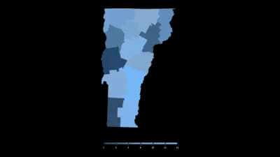
Vermont (counties) Choropleth

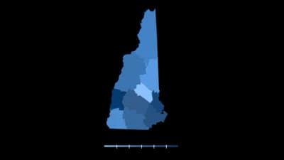
New Hampshire (counties) Choropleth

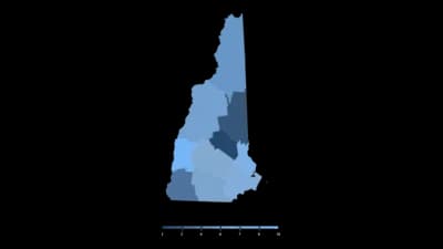
New Hampshire (counties) Choropleth

Montana (counties) Choropleth

Montana (counties) Choropleth

Idaho (counties) Choropleth

Idaho (counties) Choropleth

Hawaii (counties) Choropleth

Hawaii (counties) Choropleth

Delaware (counties) Choropleth

Delaware (counties) Choropleth

West Virginia (counties) Choropleth

West Virginia (counties) Choropleth

North Dakota (counties) Choropleth

North Dakota (counties) Choropleth

Michigan (counties) Choropleth

Michigan (counties) Choropleth

Iowa (counties) Choropleth

Iowa (counties) Choropleth

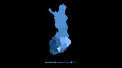
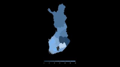
Finland (regions) Choropleth

Finland (regions) Choropleth

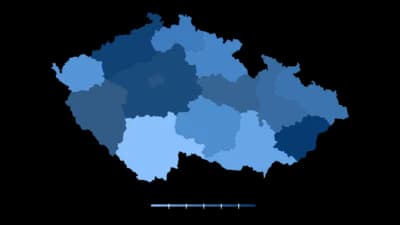
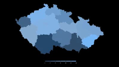
Czech Republic (regions) Choropleth

Czech Republic (regions) Choropleth

Utah (counties) Choropleth

Utah (counties) Choropleth

Tennessee (counties) Choropleth

Tennessee (counties) Choropleth

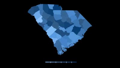
South Carolina (counties) Choropleth

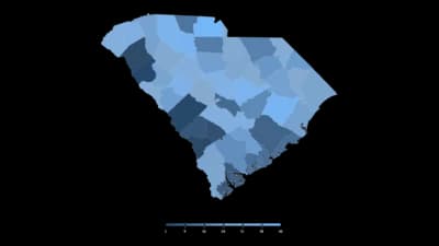
South Carolina (counties) Choropleth

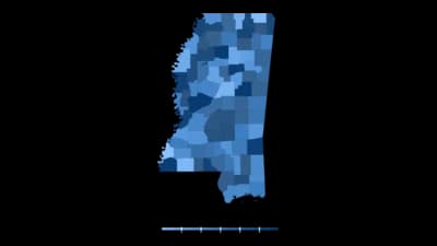
Mississippi (counties) Choropleth

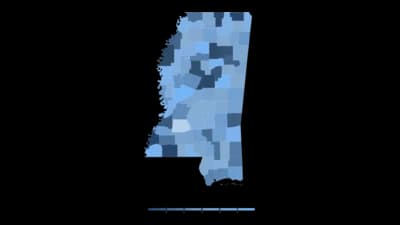
Mississippi (counties) Choropleth

Oceania (countries) Choropleth

Oceania (countries) Choropleth

South Dakota (counties) Choropleth

South Dakota (counties) Choropleth

Nevada (counties) Choropleth

Nevada (counties) Choropleth

Taiwan (municipalities) Choropleth

Taiwan (municipalities) Choropleth

Peru (regions) Choropleth

Peru (regions) Choropleth

Greece (regions) Choropleth

Greece (regions) Choropleth

O que é um Mapa coroplético?

A choropleth map colours predefined geographic areas (countries, states, counties) by the value of a variable in each one. It is the standard way to show how something varies across places, and its strength is that readers already know the shape of the map, so they can find themselves in the data without a legend. Its structural weakness is equally fixed: area on a map reflects land size, not population or importance, so large sparse regions shout and small dense ones whisper.

Quando usar um Mapa coroplético

  • Your data is naturally tied to places

    Election results, unemployment, broadband coverage, disease incidence. If every row is a country or a state, the map is doing real work.

  • You are showing a rate, share or density

    Percentages, per-capita figures and rates are the right measures for a choropleth because they are already adjusted for how big or populous each region is.

  • The geographic pattern is the point

    Clusters, borders and regional divides show up on a map and disappear in a table. If "where" is part of your finding, show a map.

  • Your audience knows the geography

    A map of US states works for a US audience because they can locate themselves instantly. That familiarity is the format's biggest advantage.

Quando não usar um Mapa coroplético

  • You are mapping raw counts

    Totals track population, so a count map mostly redraws where people live. Convert to a rate or per-capita figure, or use sized symbols instead of shading.

  • The important regions are small

    City-states and small districts can be invisible at national scale while empty regions dominate the frame. A bar chart, or a cartogram, gives small places their due.

  • You need precise comparison between regions

    People read colour approximately. If the reader must rank regions or read exact values, pair the map with a sorted bar chart, or replace it with one.

  • You only have a handful of places

    Six countries do not need a world map. A sorted bar chart shows six values more precisely and in far less space.

Como criar um Mapa coroplético

De uma planilha a um gráfico publicado, passo a passo.

  1. 01Start from a map template
  2. 02Prepare a place column and a value column
  3. 03Upload or connect your data
  4. 04Choose a colour scale that matches the data
  5. 05Publish, embed or export

As partes de um Mapa coroplético

Regions
The predefined geographic areas being shaded. Their boundaries come from the template, so the unit of analysis is fixed before you start.
Colour scale
The mapping from value to shade. Sequential for low-to-high quantities, diverging only when a meaningful midpoint exists.
Classification
How values are bucketed into shades: equal intervals, quantiles, or natural breaks. Different methods produce visibly different maps from identical data, so the choice is analytical, not cosmetic.
Legend
The key showing which shade means which range. A choropleth without one is decoration.
No-data colour
A distinct neutral, usually grey, for regions you have no value for. Without it, missing data reads as a low value.
Projection
How the globe is flattened. Every projection distorts something; the common web default exaggerates areas near the poles.

Erros comuns em um Mapa coroplético

Mapping counts instead of rates

A map of totals is usually a map of population. Divide by population, area or another sensible denominator before shading.

Using a rainbow colour scale

Rainbow ramps have no natural order, so readers cannot tell which end is high. Use a single-hue sequential scale that runs light to dark.

Letting missing data look like zero

If no-data regions are shaded with the lightest colour on the scale, the map reports values you never had. Give them a distinct grey and label it.

Picking the classification that tells the best story

Switching between quantiles and equal intervals can make a pattern appear or vanish. Choose a method for a reason, then state which one you used.

Mapa coroplético: perguntas frequentes

Showing how a value varies across geographic areas by shading each region according to its number. It suits rates, shares and densities tied to countries, states or counties.

Crie o seu Mapa coroplético agora

Comece grátis com mais de 600 modelos. Sem cartão de crédito.